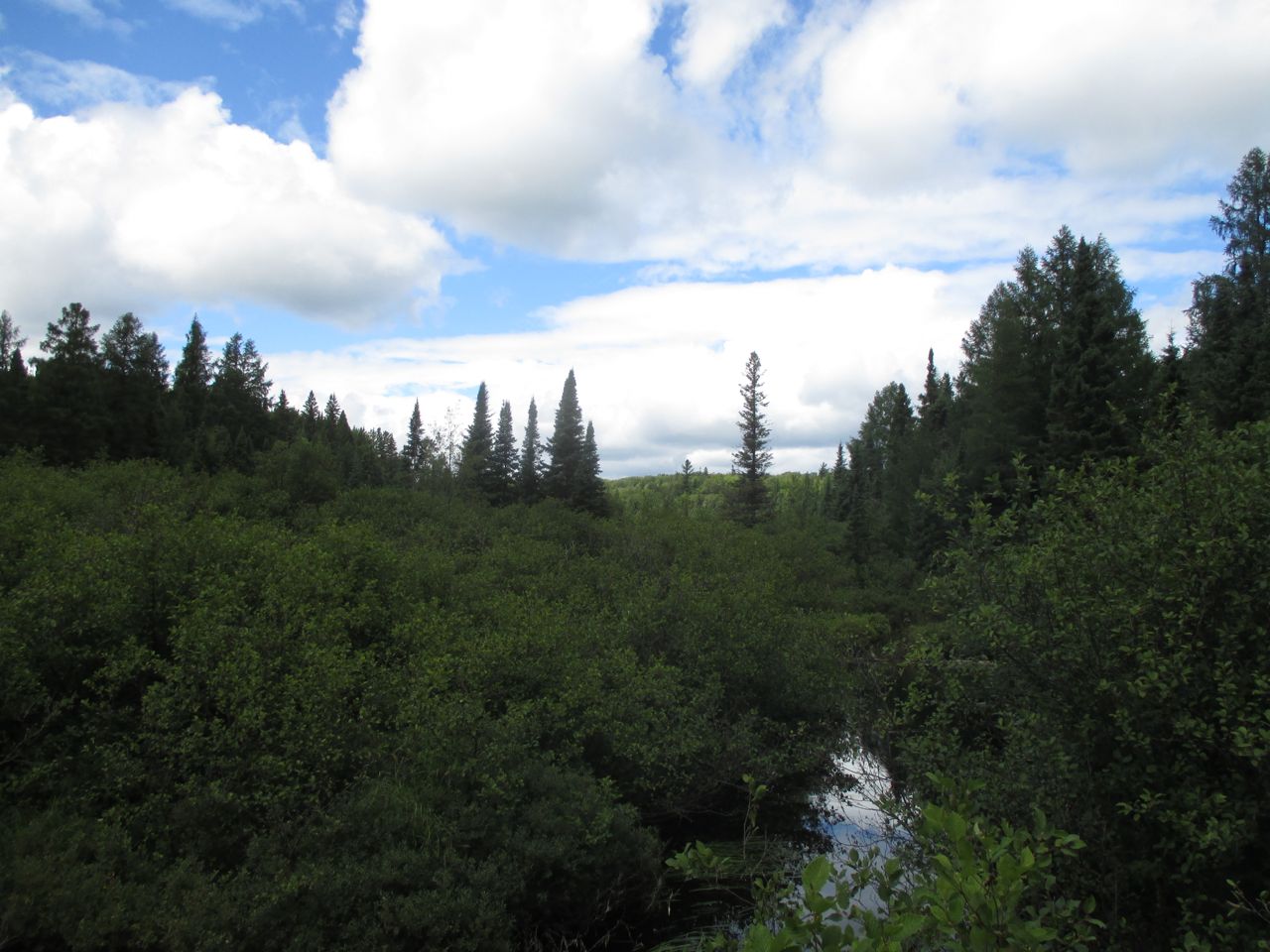
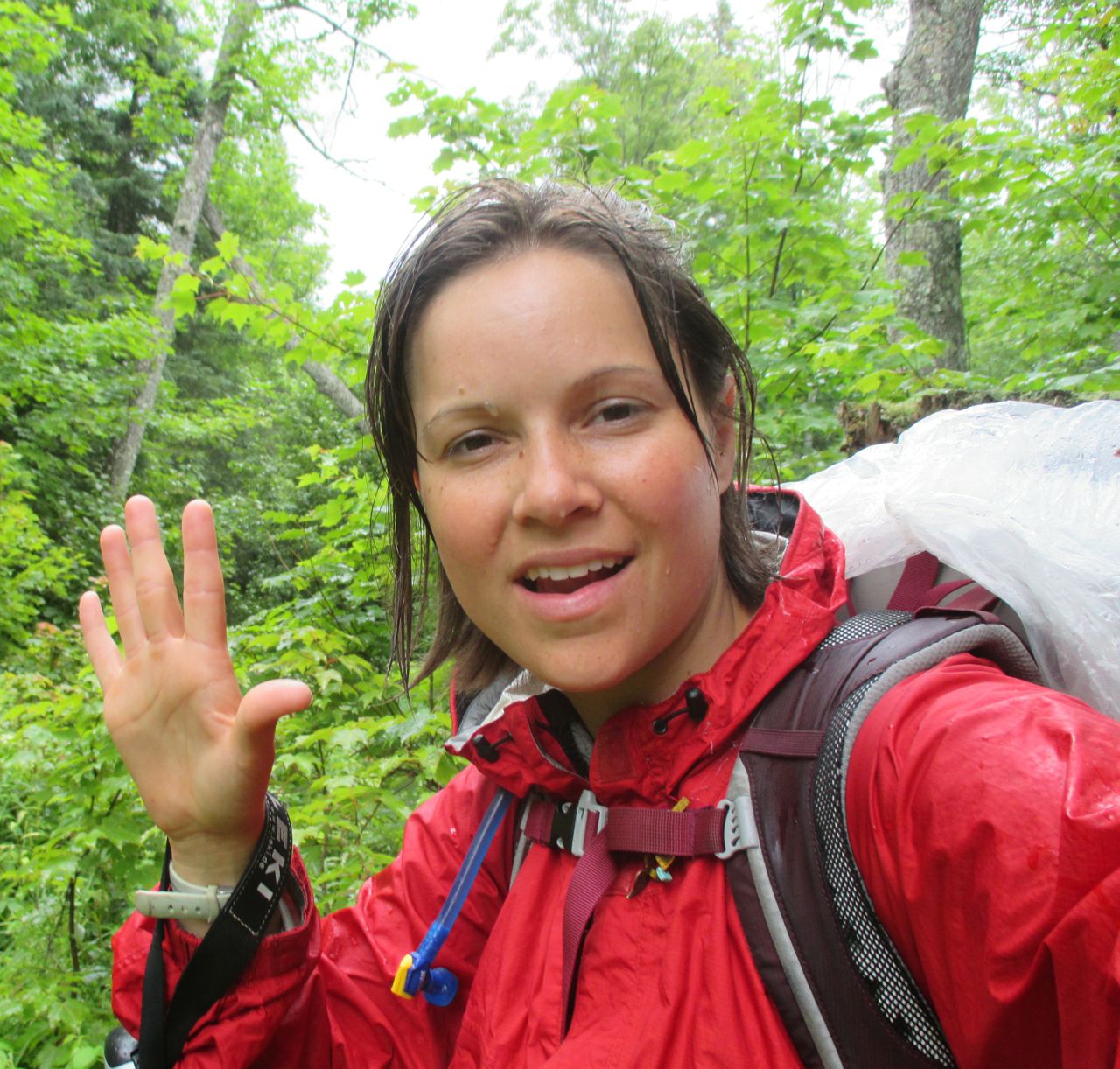
 It’s 5:00 and I’m resting at a campsite along the trail. I have a few hours to go but Im due for a rest. I had yet another intensely frustrating morning, the unmarked trail often passed through very sparsely wooded areas so it pretty much all looked like “potential trail.” It was like a Magic Eye optical illusion where I could make out imaginary lines coming in from all directions toward me like an asterisk. I learned to detect if I was not on the trail by whether or not I had to block branches. The ground was ambiguous but these paths are groomed sometimes and trees don’t grow fast enough to extend over the trail. In this way I figured out that if I had to duck, I was in the wrong place. I bounced around the woods like a pinball, running up against the property line here, a cliff there. I finally saw a road from a cliff but, I couldn’t get to it. I contemplated the steep rocky side: so close but so far away. I decided not to be an idiot and finally resigned to making my way down the gradual slope instead.
Finally, I saw two people. I wanted to cry. I asked them where the trail was and they pointed me to a trail head in a parking lot only 200 meters away, the end of the McCormick Wilderness. Ugh. The thing about being lost is that as soon as you find help, you’re no longer lost. It was nice to see them anyway though, and they gave me two Cliff Bars and a Gatorade.
I was considering using my low rations of food as an excuse to catch a ride to the nearest town of Baraga while I sat and ate my snacks and waited for my water to purify. Then two more cars pulled up (party!) with more kind souls in them, 4 men and a woman on a little fishing outing. They gave me more delicious food and took a picture of me for mom with instructions to send it to her as proof of my well-being. It’s been a long time since she heard from me so I’m sure she’s worried. The woman was a mother, and she seemed touched by my attempt to comfort my mom with a picture. She gave me a long hug and said “this is from your mother.” She smelled like perfume. It was a deeply touching moment, my eyes teared up.
For the second time today I wanted to cry but couldn’t do it. I think I need to feel utterly helpless to let go like that. This trip is such an interesting combination of empowerment and humility. Sometimes I feel so self-determined “I am in charge, no one else.” Other times, I realize how helpless I am: when I’m lost, when I’m out of water, when my mail is late, when the wolves or coyotes or moose come alive at night, when the weather is bad, when all I want to do it lay down but can’t because no one will come and save me. The truth is, no one else is in charge but I’m not either.
I have traveled a record distance today- nearly 29 miles. I was so rejuvenated by that hug and by being back on a marked trail that I pounded out the miles. A lot more hills here too. I felt strong. Last night in bed I felt my body and there was a definitely a noticeable change in my thighs- less to grab. That sense of “muscular toughness” powered me on today. I was so in the zone that I didn’t fully realize that I have officially left the North Country Trail. At some point I passed my last blue blaze but there was no ceremony, I just tromped right by. I guess it’s fitting in a way.
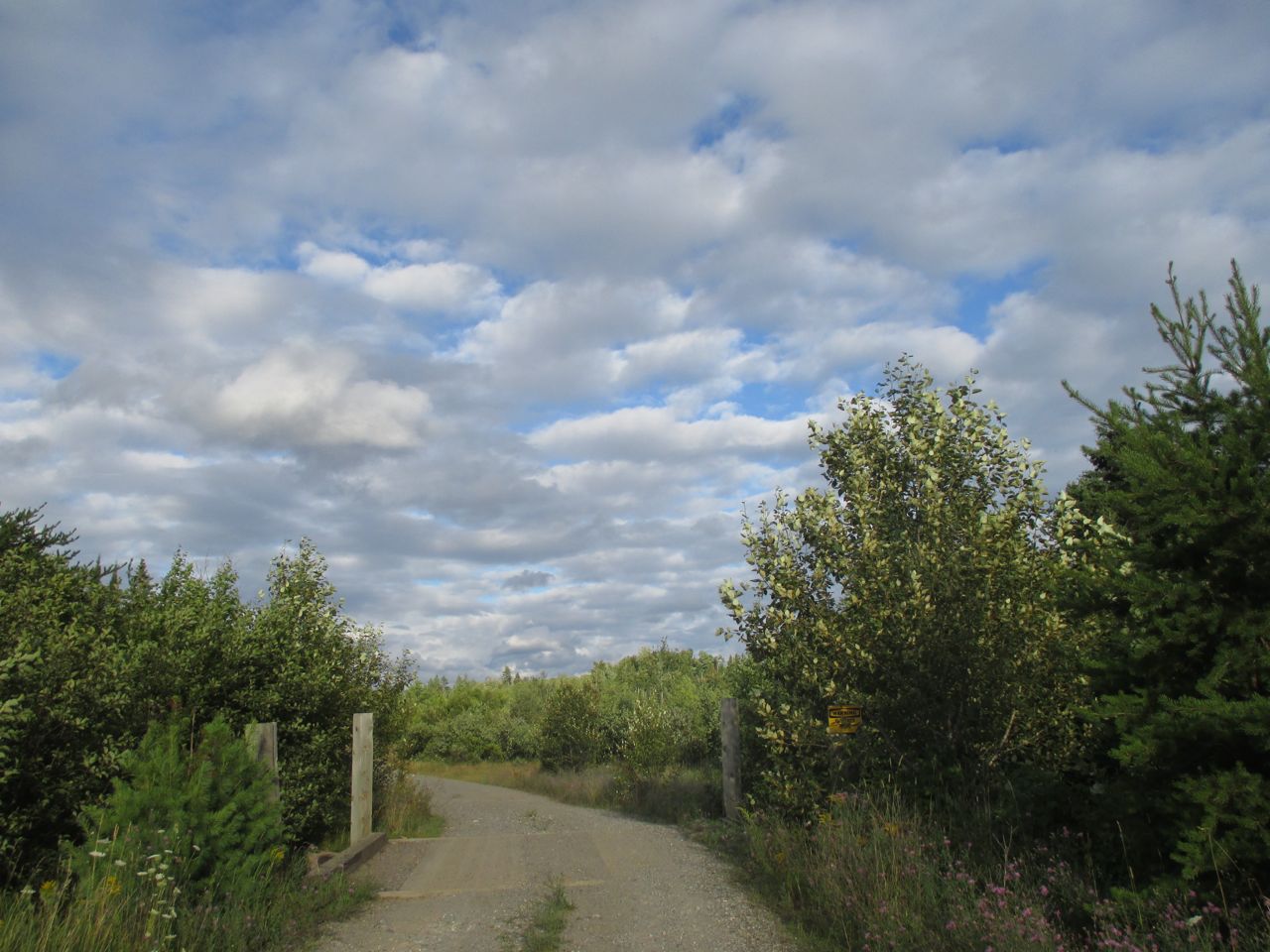
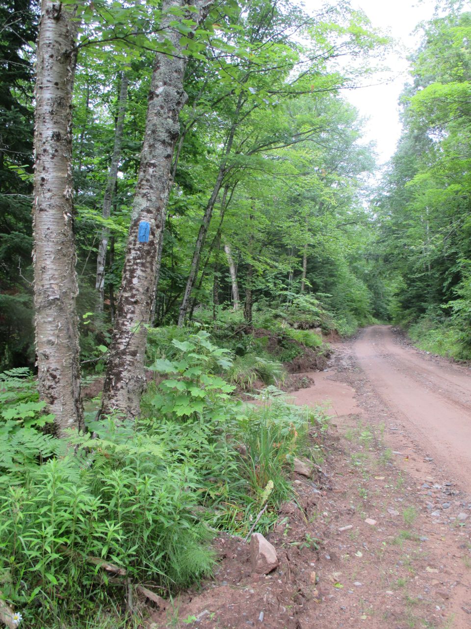
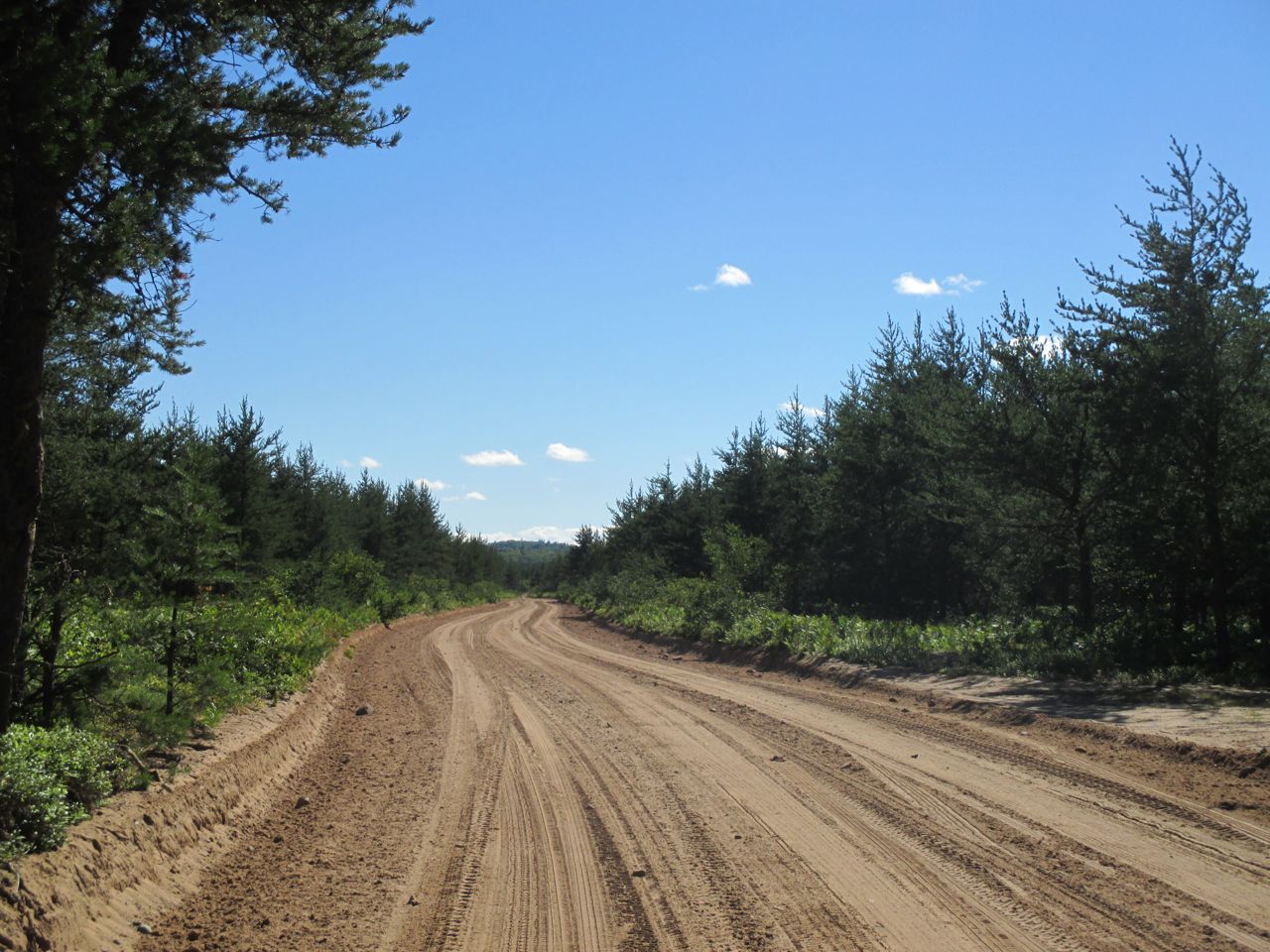
From that point on I will be on roads and snowmobile paths and shorelines but no more true trail so there’s more navigating to do. My first choice was to decide between going North (my direction of travel) or take a slight detour South to the “town” of Nestoria. It was out of my way but I wanted to charge my phone and see about buying supplies. I saw a billboard for a general store and when I made it there I was crushed to see that it was boarded up– out of business. I sat pitifully in front of it for a minute and saw a dusty electrical outlet on the side of the store and charged my phone! It’s amazing how little things like that have such a powerful impact on my mood, it felt like a major victory.
 This is the longest I’ve gone on the trail without bathing. The last time was Monday night with my Marquette monsieur, it is Friday now and I don’t know when my next chance will be. Somehow I honestly don’t feel that dirty though of course I am filthy.
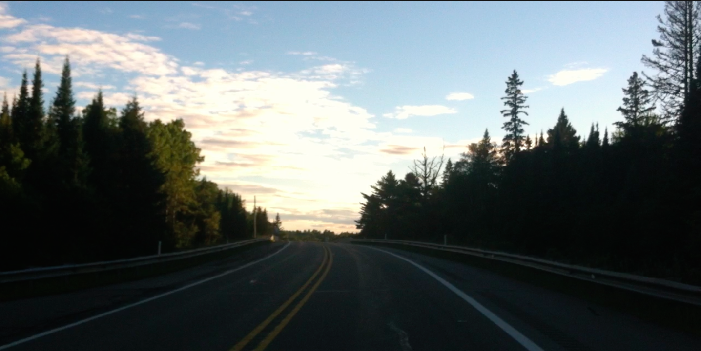
I made it to Highway 41, a hugely symbolic destination for me. This road travels from Key West in Florida all the way up here to the northernmost tip of the Upper Peninsula, ending in Copper Harbor, where I will end my trip with it.
Continue to the next entry in this series here: Day 36: Herman Road to South Entry Road
Go back to the most recent entry in the series here: Day 34: Red Road to McCormick Wilderness
 Tonight is the first time I’ve really been scared. I am going to sleep without knowing where I am and it is very unsettling.

